04 · NGOs, engineers, researchers and project developers
Climate-risk mapping and remote sensing
Project developers, NGOs and researchers need to know which sites flood, how land cover has changed and where vegetation is under stress, and they need maps a funder or engineer will trust.
We work with Sentinel-1 radar, Sentinel-2 and Landsat imagery in Google Earth Engine and QGIS, and deliver print-ready maps, GIS layers and a short methods note that explains every step.
The problem we solve
You need to know which sites flood, which slopes fail, or how land cover changed, and you need a map a funder trusts.
What is included
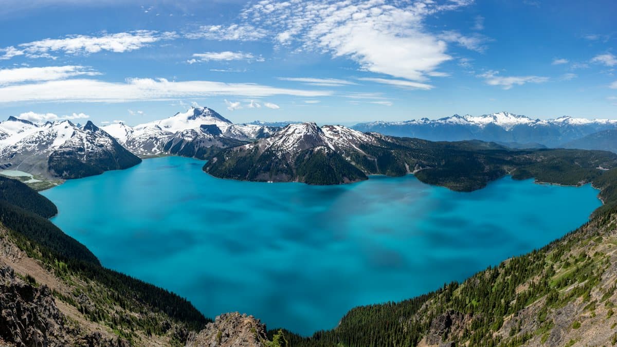
- Flood and glacial-lake hazard mapping
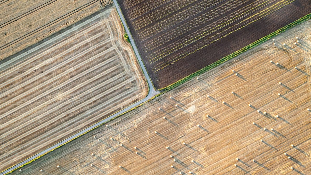
- Land-use and land-cover change
- NDVI and vegetation trends
- Google Earth Engine, QGIS, ArcGIS
How it works
Step 1
Scoping call
Fifteen minutes on the problem, the data you already hold and the deadline. Free.
Step 2
Fixed quote
Within two working days: scope, price and timeline in writing.
Step 3
The work
Weekly updates and early drafts, so nothing surprises you at the end.
Step 4
Handover
Files in the formats you use, the method documented, and a call to walk through it.
Frequently asked questions
What GIS mapping services do you offer?
Flood and glacial-lake hazard mapping, land-use and land-cover classification and change, NDVI and vegetation trends, study-area maps for theses and reports, and exposure analysis for sites and settlements.
Which data do you use?
Mostly free satellite data (Sentinel-1 SAR, Sentinel-2, Landsat 8/9, Copernicus DEM) plus any local layers you provide, processed in Google Earth Engine and QGIS.
What formats do I receive?
Maps as PNG or PDF, and GIS layers as GeoTIFF, Shapefile or GeoPackage, with a methods note.