Learn it on a real dataset, not a slide.

Six courses built from client projects: the same workbooks, the same satellite data, the same questions customers and funders ask.

Courses
6
Tracks
2
Weeks each
3–5
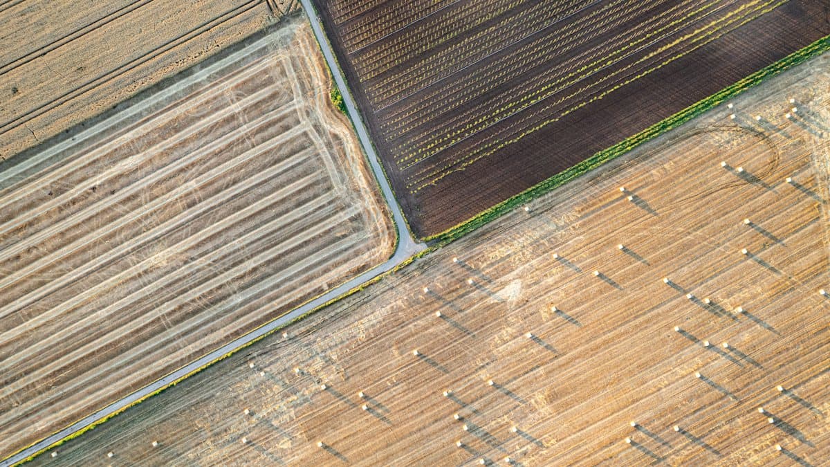
Satellite-style view of farmland used in remote sensing labs

Carbon & reporting

For people who have to produce the numbers and the report.

CR-101Beginner4 weeks4–5 hours per week

GHG Accounting Fundamentals

Sustainability officers, finance teams and consultants starting out

Build a Scope 1, 2 and 3 inventory for a real organisation, to the GHG Protocol.

You will be able to

  • Set organisational and operational boundaries
  • Calculate Scope 1 and 2, location- and market-based
  • Screen all 15 Scope 3 categories and calculate the material ones
  • Set a base year and a reduction target

Tools

Excel or Google Sheets · GHG Protocol · DESNZ and EPA factors

Format

Recorded lessons, weekly live clinic, graded workbook

  1. Week 1

    Boundaries, scopes and the GHG Protocol

  2. Week 2

    Scope 1 and 2: fuels, refrigerants, location- and market-based electricity

  3. Week 3

    Scope 3: spend-based screening, then activity data where it matters

  4. Week 4

    Base year, targets and reporting the result

Enrolment opens with the first cohort. Join the list for the start date and founding price before anyone else.

Questions? Talk to us 1:1
CR-102Beginner3 weeks3 hours per week

VSME Reporting for SMEs

Owners and managers of small companies asked for sustainability data

Prepare a complete VSME Basic Module report (B1 to B11) for your company.

You will be able to

  • Decide which VSME items apply to you
  • Collect energy, emissions, water, waste and workforce data
  • Write a report customers and banks accept
  • Reuse it to answer supplier questionnaires

Tools

VSME Basic Module · Word template · GHG workbook

Format

Recorded lessons, report template, written review of your draft

  1. Week 1

    What VSME is, who asks for it, and which items apply to you

  2. Week 2

    Energy, emissions, water, waste and workforce data

  3. Week 3

    Writing the report and answering customer questionnaires with it

Enrolment opens with the first cohort. Join the list for the start date and founding price before anyone else.

Questions? Talk to us 1:1

Technical: data & GIS

For people who work with satellite, climate and spatial data.

CR-201Beginner5 weeks5–6 hours per week

Climate-Risk Mapping with QGIS

Students, researchers and NGO staff who need maps they can defend

Produce a study-area map, a land-cover change map and a flood exposure map.

You will be able to

  • Make a publication-quality study-area map
  • Calculate and interpret NDVI
  • Classify land use and land cover and measure change
  • Map flood exposure for a settlement or site

Tools

QGIS · Sentinel-2 · Landsat 8/9 · Copernicus DEM

Format

Step-by-step labs with real Sentinel-2 and Landsat data

  1. Week 1

    QGIS essentials and a publication-quality study-area map

  2. Week 2

    Sentinel-2 and Landsat: bands, cloud masking, NDVI

  3. Week 3

    Land-use and land-cover classification and change

  4. Week 4

    Flood and glacial-lake hazard mapping

  5. Week 5

    Accuracy, methods notes and presenting to funders

Enrolment opens with the first cohort. Join the list for the start date and founding price before anyone else.

Questions? Talk to us 1:1
CR-202Intermediate4 weeks5–6 hours per week

Google Earth Engine for Climate Analysis

GIS users ready to work with decades of satellite data in the cloud

Write Earth Engine scripts that track vegetation, water and land change over 20+ years.

You will be able to

  • Filter, mask and composite image collections
  • Build NDVI and surface-water time series
  • Run supervised land-cover classification at scale
  • Export results to QGIS, charts and web apps

Tools

Google Earth Engine · JavaScript · Python (geemap) · Landsat, Sentinel, MODIS

Format

Coding labs (JavaScript Code Editor and Python API), weekly code review

  1. Week 1

    Earth Engine basics: collections, filters, reducers

  2. Week 2

    Cloud-free composites and long NDVI time series

  3. Week 3

    Surface water, snow and glacier change

  4. Week 4

    Classification at scale and sharing results as an app

Enrolment opens with the first cohort. Join the list for the start date and founding price before anyone else.

Questions? Talk to us 1:1
CR-301Intermediate5 weeks5 hours per week

Python for Climate and Environmental Data

Analysts and researchers moving from spreadsheets to code

Clean, analyse and chart climate, emissions and spatial data with reproducible Python notebooks.

You will be able to

  • Load and clean emissions and weather datasets
  • Analyse gridded climate data (ERA5, CMIP6) with xarray
  • Join tabular and spatial data with GeoPandas
  • Produce publication-ready charts and maps

Tools

Python · pandas · xarray · GeoPandas · matplotlib

Format

Jupyter notebooks, real datasets, weekly assignment with feedback

  1. Week 1

    Notebooks, pandas and cleaning real emissions data

  2. Week 2

    Time series: temperature, rainfall and trends

  3. Week 3

    Gridded climate data with xarray: ERA5 and CMIP6

  4. Week 4

    Spatial joins and maps with GeoPandas

  5. Week 5

    A reproducible mini-project from raw data to report

Enrolment opens with the first cohort. Join the list for the start date and founding price before anyone else.

Questions? Talk to us 1:1
CR-302Advanced4 weeks6 hours per week

Radar Remote Sensing for Floods and Glaciers

GIS analysts and researchers working on disaster risk and the cryosphere

Map flood extent through cloud and track glacial lakes with Sentinel-1 radar.

You will be able to

  • Understand SAR backscatter, polarisation and speckle
  • Map flood extent before and after an event
  • Detect and monitor glacial lake growth
  • Validate results and write a methods note

Tools

Sentinel-1 SAR · Google Earth Engine · ESA SNAP · QGIS

Format

Advanced labs with Sentinel-1 SAR in Earth Engine and SNAP

  1. Week 1

    How radar sees the ground: backscatter, VV/VH, speckle

  2. Week 2

    Rapid flood mapping by change detection

  3. Week 3

    Glacial lakes: detection, area change and GLOF risk

  4. Week 4

    Accuracy assessment and reporting to responders

Enrolment opens with the first cohort. Join the list for the start date and founding price before anyone else.

Questions? Talk to us 1:1

Training a whole team?

Private versions of any course for your organisation, adapted to your sector and your own data.